
The City Is Talking. Can Your Systems Listen?
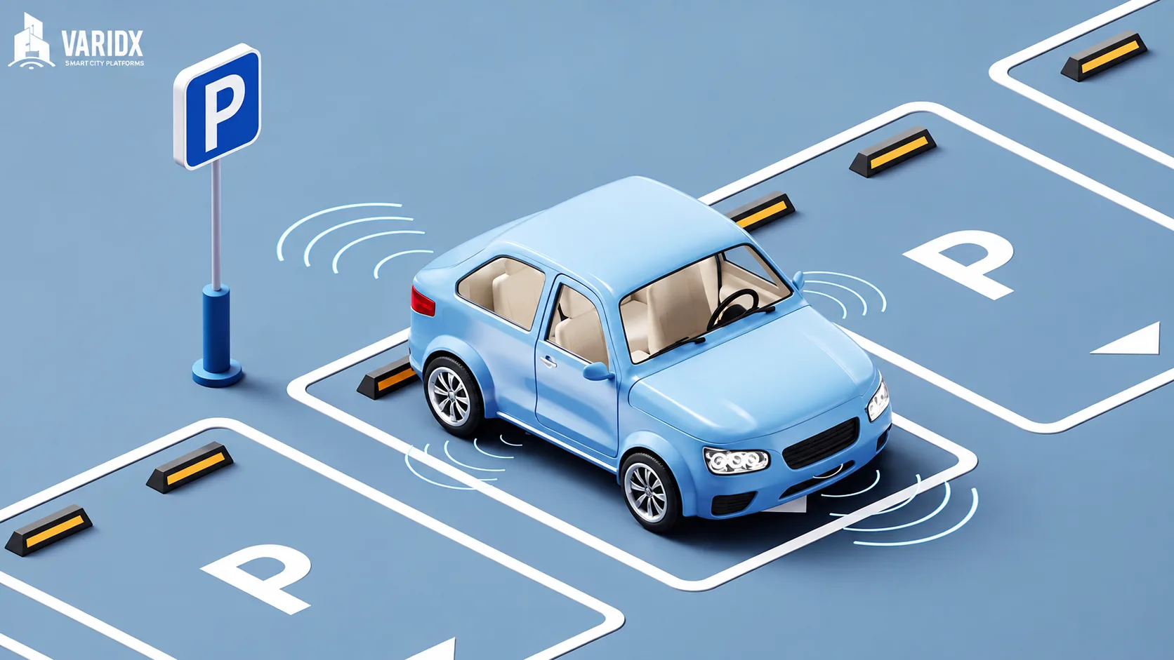
A parking space opens. A bus falls behind. Rain starts to overwhelm a drainage system. Traffic builds at an intersection. An air-quality sensor detects a sudden change.
Cities generate signals like these every second.
The challenge isn’t a lack of information. It is that much of this information still exists in separate systems that don’t always communicate with one another.
A transportation department may know where congestion is building. A parking system may know where demand is rising. An environmental network may detect changing weather conditions. A public works team may know which infrastructure is under pressure.
But if these systems remain disconnected, the city sees individual events rather than the bigger picture.
And when cities can’t see the bigger picture, they are forced to react instead of anticipate.
The next stage of smart city development isn’t simply about installing more sensors or adding more AI.
It is about connecting the information cities already have and turning it into intelligence that can support better decisions.
The Problem Isn’t Data. It’s the Gaps Between It.
Modern cities are already surrounded by data.
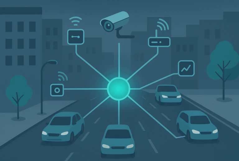
Traffic cameras monitor roads. Sensors measure air quality. Parking systems track availability. Public transit platforms collect information about routes and ridership. Weather systems monitor rainfall and temperature. Infrastructure networks generate their own operational data.
Yet these systems often operate independently.
That creates data blind spots.
Imagine a major storm moving through a city.
Rainfall sensors may detect intense precipitation, while drainage systems monitor water levels. Traffic platforms see congestion building on roads near flood-prone areas. Emergency services begin receiving calls from affected neighborhoods.
If those systems cannot communicate, each department sees only its own piece of the situation.
But when the information is connected, the story becomes clearer.
A rise in rainfall can be viewed alongside drainage capacity. Traffic patterns can be compared with known flood zones. Emergency teams can identify which routes may become difficult to access.
The difference isn’t more data. It’s context.
When systems start talking to one another, individual signals become part of a larger picture.
This challenge of fragmented information is explored further in The Crisis You Can’t See: How Missing Data Derails Smart Cities.
And that larger picture gives cities something they have historically struggled to achieve: the ability to understand what is happening before the consequences become obvious.
The Curb Is Becoming a Data Problem
One of the clearest examples of this challenge can be found at the curb.
For decades, parking was treated primarily as a matter of finding and managing spaces.
Today, the curb has become much more complicated.
Parking competes with delivery vehicles, ride-hailing services, public transportation, cycling infrastructure, pedestrians, and outdoor businesses for the same limited space.
When cities rely on static parking information, they have limited visibility into how that space is being used at any given moment.
Drivers circle looking for available spaces.
Delivery vehicles occupy areas they shouldn’t.
Traffic slows as vehicles search for parking or stop unexpectedly.
Businesses experience the consequences.
The problem is not necessarily a shortage of curb space.
It is often a lack of visibility into demand.
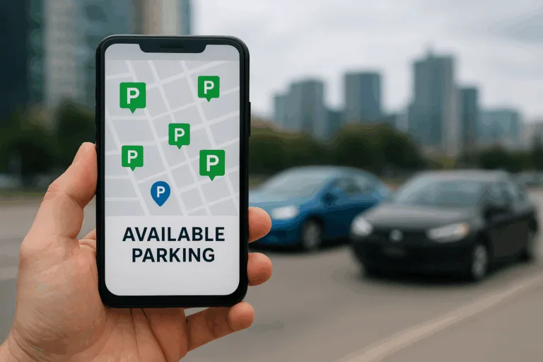
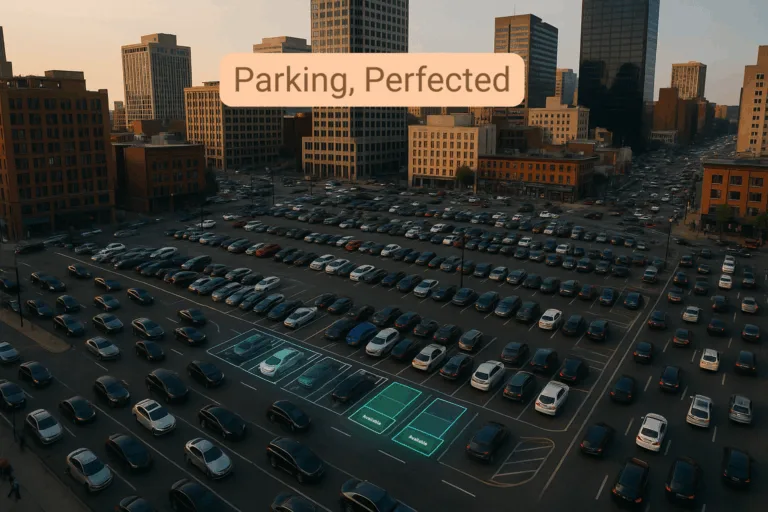
Connected parking sensors, cameras, mobile applications, and real-time data can change that.
Cities can understand where spaces are available, where demand is increasing, and how curb activity changes throughout the day.
Dynamic pricing can then help balance demand, while historical data can reveal recurring pressure points.
The result is more than smarter parking.
It is a better understanding of how the street itself functions.
For a deeper look at how cities can rethink this limited urban resource, read From Parking Chaos to Smart Curb Management: The Next Urban Frontier in the
AI Works Best When the City Has Something to Learn From
The same principle applies to artificial intelligence.
AI is often presented as the technology that will transform cities overnight.
In practice, its most useful applications can be surprisingly ordinary.
A bus arrival prediction becomes more accurate because an AI system can account for traffic, weather, ridership, and previous journey patterns.
A traffic signal can adjust its timing based on actual vehicle and pedestrian movement rather than relying entirely on fixed schedules.
Waste collection routes can change based on patterns in how quickly different areas generate waste.
Pedestrian crossings can respond to real-time activity and provide additional time when needed.
These are small interventions.
But small interventions repeated across thousands of daily journeys can have a significant effect on how a city feels.
People spend less time waiting.
Traffic moves more smoothly.
Waste collection becomes more efficient.
Intersections become safer.
And the technology often disappears into the background.
That may be the most useful form of smart city technology: the kind people experience without having to think about it.
The everyday impact of these applications is explored in AI in City Life: The Small Fixes Making the Biggest Difference.
But none of this works particularly well without good data.
AI can only learn from the information available to it.
If traffic data sits in one system, weather information in another, and infrastructure data somewhere else, the AI may be working with only part of the story.
Connected data gives it more to work with.
When Cities Can’t See the Whole Picture, Small Problems Become Bigger
Data gaps aren’t simply a technology problem.
They can become operational problems.
A pothole may remain unrepaired because a citizen report isn’t connected to the road maintenance system.
An ambulance may lose valuable time because emergency dispatch cannot access real-time traffic conditions.
A drainage system may become overwhelmed because rainfall information isn’t connected to infrastructure capacity.
An area may experience poor air quality without the city being able to identify whether traffic, industrial activity, weather, or a combination of factors is responsible.
Each situation begins with a relatively small gap.
But when systems don’t communicate, those gaps can become expensive.
They can affect public safety, municipal resources, environmental conditions, and ultimately the public’s confidence in how well a city operates.
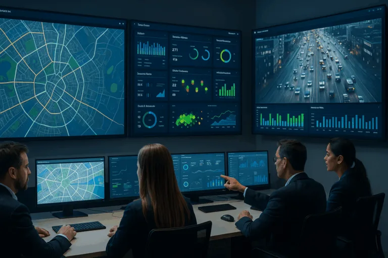
This is why data integration is becoming such an important part of smart city planning.
The objective isn’t to create more dashboards. It is to create better connections between the systems cities already depend on.
From Real-Time Awareness to Predictive Action
Seeing what is happening now is useful.
Knowing what is likely to happen next is even more valuable.
Once different datasets are connected, cities can begin identifying patterns that would otherwise remain hidden.
A recurring traffic slowdown may coincide with delivery activity at a particular time of day.
Parking demand may consistently rise around certain events.
Rainfall combined with drainage data may reveal neighborhoods that are more vulnerable to flooding.
Energy consumption patterns may indicate that infrastructure is beginning to perform differently.
Over time, these connections can help cities move from simply responding to incidents toward anticipating them.
That is where smart city technology becomes more than monitoring.
It becomes foresight.
And foresight gives city teams the opportunity to intervene earlier, allocate resources more effectively, and plan infrastructure around actual patterns rather than assumptions.
What a Truly Connected City Looks Like
A connected city doesn’t necessarily mean replacing every existing system.
In fact, many cities already have valuable infrastructure in place.
The opportunity lies in making those systems work together.
Transportation data can connect with parking and curb information.
Environmental sensors can connect with weather and infrastructure systems.
Public safety networks can connect with mobility data.
Waste management can connect with usage patterns and route information.
Infrastructure monitoring can connect with maintenance operations.
When these connections are established, data stops living in isolated departments and starts becoming a shared source of intelligence.
The city can begin to understand not just what is happening, but why it is happening and what could happen next.
How Varidx Helps Connect the Dots
At Varidx, we believe the foundation of a smart city is not simply the amount of technology it deploys.
It is how effectively that technology works together.
Varidx helps connect data from IoT sensors, mobility systems, environmental monitoring, infrastructure, and city operations to create a more unified view of what is happening across the urban environment.
This connected approach can support smarter transportation, parking and curb management, environmental monitoring, infrastructure planning, and other city operations.
The goal is simple:
Help cities move from scattered information to meaningful intelligence.
Because when the right data reaches the right people at the right time, decisions become faster, planning becomes more informed, and city operations become more proactive.
The Smartest City May Be the One That Sees More Clearly
A smart city doesn’t become smarter simply because it has more sensors.
It becomes smarter when those sensors, systems, departments, and decisions start working together.
A parking signal can reveal a mobility problem.
A rainfall reading can become an early warning.
A bus delay can reveal a wider traffic pattern.
An AI model can turn thousands of everyday signals into a useful prediction.
The pieces are already around us.
The next frontier is connecting them.
Because the future of smart cities isn’t just about collecting more data.
It’s about making sense of what the city is already telling us.
Connected data. Clearer decisions. Smarter cities.
Learn more about Varidx:
https://varidx.io/